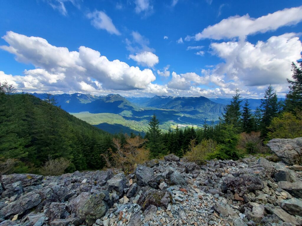
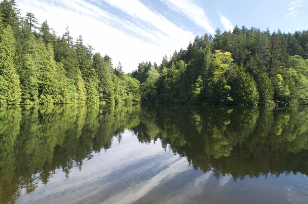
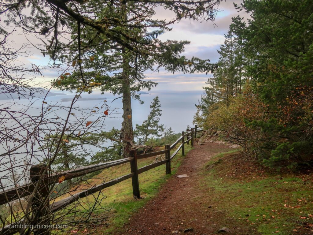
Embark on a thrilling exploration of the Pacific Northwest’s natural wonders and the Greater Seattle area’s scenic landscapes with our curated list of top hikes. From the majestic peaks of the Cascade Range to the tranquil shores of alpine lakes, each trail promises a unique adventure for outdoor enthusiasts. Discover iconic destinations like Mount Si and Rattlesnake Mountain Trail in North Bend, or immerse yourself in the mesmerizing beauty of Lake Serene and Bridal Veil Falls near Index. Whether you seek challenging summit treks or leisurely forest strolls, our guide provides detailed descriptions, essential tips, and safety guidelines for a memorable and safe hiking experience amidst the pristine wilderness of the Pacific Northwest.
North Puget Sound:
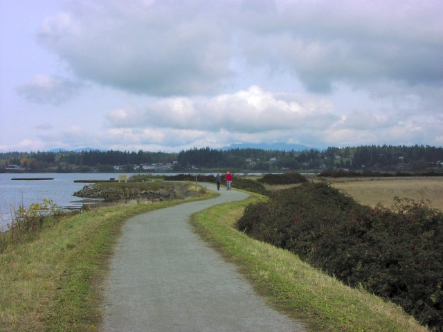
1. Padilla Bay Shore Trail – Near Burlington:
- Distance: 4.8 miles round trip
- Elevation Gain: 30 ft
- Description: Enjoy a peaceful hike with smooth surfaces and stunning views of Padilla Bay. Encounter diverse bird species and unique estuarine habitats along the way.
- Tips:
- Bring binoculars for birdwatching.
- Stay on designated trails to protect sensitive ecosystems.
- Check tide schedules if planning to explore the shoreline.
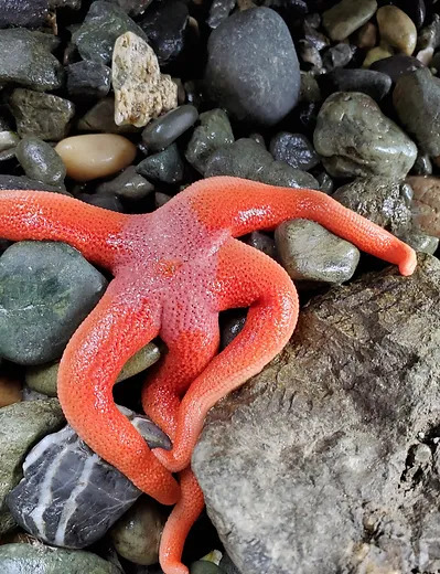
2. Deception Pass Headlands – Rosario Beach Tide Pools:
- Distance: 5 miles round trip
- Elevation Gain: 350 ft
- Description: Experience breathtaking views of saltwater shoreline, old-growth forests, and fascinating tide pools at Rosario Beach. Enjoy coastal exploration and wildlife sightings.
- Tips:
- Wear sturdy shoes for rocky terrain around tide pools.
- Check tide schedules before visiting tide pools.
- Be cautious of slippery areas near the shoreline.
3. Sugarloaf Mountain Hike – Anacortes Community Forest:
- Distance: 2.5 miles round trip
- Elevation Gain: 890 ft
- Description: Enjoy panoramic views of the surrounding area in the Anacortes Community Forest. The relatively easy trail is suitable for hikers of various skill levels.
- Tips:
- Bring water and snacks for the hike.
- Start early to avoid crowds and enjoy the scenery peacefully.
- Follow trail markers and stay on designated paths.
4. Oyster Dome Trail – Blanchard Mountain, Bow:
- Distance: 6.5 miles round trip
- Elevation Gain: 1900 ft
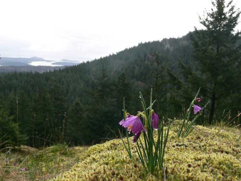
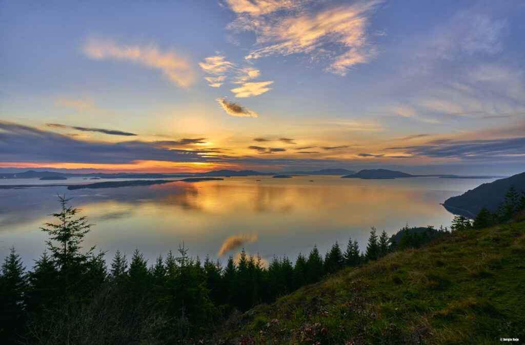
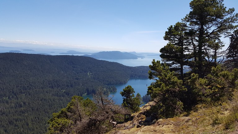
- Description: Oyster Dome Trail offers panoramic views of the San Juan Islands and Skagit Valley. It features forests, rocky outcrops, and stunning vistas.
- Tips:
- Start early to enjoy sunrise views.
- Carry plenty of water, especially on hot days.
- Be cautious of steep sections and slippery rocks.
5. Mount Constitution Trail – Moran State Park, Orcas Island:
- Distance: 6.7 miles round trip
- Elevation Gain: 1600 ft
- Description: Hike to the highest point in the San Juan Islands with sweeping views of Puget Sound, surrounding islands, and Mount Baker.
- Tips:
- Check ferry schedules and park hours.
- Dress in layers for changing weather conditions.
- Visit the historic stone tower at the summit.
6. Mount Walker – Olympic Peninsula:
- Location: Olympic Peninsula
- Distance: 3.8 miles round trip
- Elevation Gain: 2000 ft
- Description: Hike to a summit with panoramic views of the Olympic Mountains, Puget Sound, and Mount Rainier.
- Tips:
- Bring plenty of water and snacks for the longer hike.
- Wear sturdy hiking boots with good traction for the trail’s elevation gain.
- Check the weather forecast and dress in layers as conditions can change rapidly in mountainous areas.
Central Puget Sound:
7. South Indian Island Park – Near Port Townsend:
- Distance: 4 miles round trip
- Elevation Gain: 50 ft
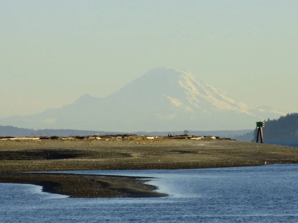
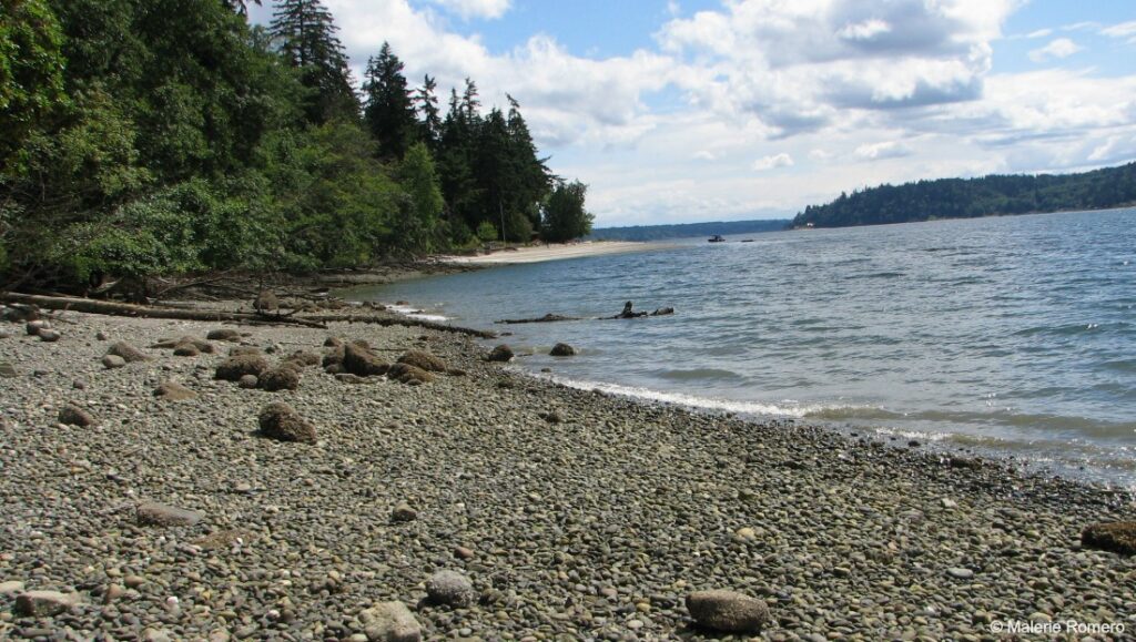
- Description: Explore sandy beaches, scenic views of Mount Rainier, and native tree species at South Indian Island Park.
- Tips:
- Pack sunscreen and hats for sun protection.
- Carry a map or use GPS for navigation in the park.
- Respect wildlife and keep a safe distance from animals.
8. Lunds Gulch – Lynnwood:
- Distance: 2.5 miles round trip
- Elevation Gain: 425 ft
- Description: Escape suburban life with forested ravines, wetlands, and views of Puget Sound at Lunds Gulch Trail.
- Tips:
- Wear appropriate footwear for muddy sections.
- Keep dogs on leash and clean up after them.
- Carry a first aid kit and emergency contacts.
9. Warren G. Magnuson Park Trails – Seattle:
- Distance: Varies (4-mile trail system)
- Description: Enjoy a network of trails suitable for walking, jogging, and family outings at Warren G. Magnuson Park.
- Tips:
- Stay hydrated and bring water bottles.
- Check park maps for trail options and distances.
- Respect park rules and leave no trace.
10. Redmond Watershed Preserve – Near Redmond:
- Distance: 5.5 miles round trip
- Elevation Gain: 400 ft
- Description: Discover over seven miles of trails winding through forests and wetlands at the Redmond Watershed Preserve.
- Tips:
- Dress in layers for changing weather conditions.
- Carry a whistle or signaling device for emergencies.
- Stay on marked trails and respect wildlife habitats.
East Puget Sound:
11. Rattlesnake Mountain Trail – North Bend:
- Distance: 11.4 miles out and back
- Elevation Gain: 2120 ft
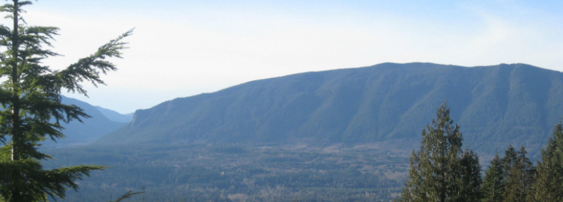
- Description: Embark on a longer and more challenging hike with sweeping views of Rattlesnake Lake and the Cascade Range.
- Tips:
- Plan for a full-day hike with plenty of water and snacks.
- Check trail conditions and closures, especially during winter months.
- Be prepared for variable weather conditions at higher elevations.
12. Seward Park Loop Trail – Seattle:
- Distance: 2.4 miles loop
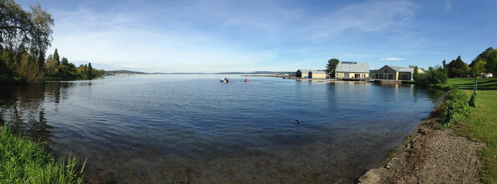
- Description: Explore scenic views of Lake Washington and a mix of forests, beaches, and birdwatching opportunities at Seward Park.
- Tips:
- Explore the park’s historical and cultural attractions.
- Keep dogs on leash and clean up after them.
- Respect park hours and closures for safety.
13. Mount Si – North Bend
- Location: North Bend
- Distance: 8 miles round trip
- Elevation Gain: 3150 ft
- Description: Challenge yourself with a steep hike to the summit of Mount Si for breathtaking views of the Snoqualmie Valley and surrounding peaks.
- Tips:
- Start early in the day to avoid crowds and to have ample time for the hike.
- Carry a map or GPS device to stay on the correct trail, especially at higher elevations.
- Pack essentials like a first aid kit, sun protection, and extra layers for changing weather.
South Puget Sound & Islands:
14. Fragrance Lake – Near Bellingham:
- Distance: 5.5 miles round trip
- Elevation Gain: 950 ft
- Description: Enjoy panoramic views of Samish Bay, Lummi Island, and the San Juan Islands at Fragrance Lake near Bellingham.
- Tips:
- Start early to find parking and avoid crowds.
- Bring insect repellent during mosquito season.
- Respect trail etiquette and yield to uphill hikers.
15. Mary E. Theler Wetlands Nature Preserve – Hood Canal:
- Distance: 3.5 miles round trip
- Elevation Gain: 50 ft
- Description: Explore Hood Canal, Union River, forests, marshes, and views of the Olympic Mountains at this family-friendly preserve.
- Tips:
- Stay on boardwalks and designated paths.
- Binoculars are great for birdwatching opportunities.
- Learn about local wildlife and ecosystems at the Wetlands Project Center.
16. Lummi Island Hikes (Baker Preserve Trail and Otto Preserve) – Lummi Island:
- Distance: Varies (depending on chosen trail)
- Description: Experience coastal views, forests, and wildlife sightings on Lummi Island’s hiking trails.
- Tips:
- Check ferry schedules and plan accordingly.
- Pack essentials like water, snacks, and a camera.
- Respect private property and follow trail rules.
17. Gazzam Lake and Close Beach – Bainbridge Island:
- Distance: 3.4 miles round trip
- Elevation Gain: 500 ft
- Description: Enjoy lake views, saltwater vistas, and wildlife sightings at Gazzam Lake and Close Beach on Bainbridge Island.
- Tips:
- Carry bear spray and know how to use it.
- Stay alert for wildlife sightings and maintain a safe distance.
- Check tide tables for beach exploration and safety.
18. Penrose Point State Park – Kitsap Peninsula:
- Distance: 2 miles round trip
- Elevation Gain: 140 ft
- Description: Discover uncrowded trails, Mount Rainier views, beach walks, and forests at Penrose Point State Park.
- Tips:
- Pay attention to park regulations and closures.
- Check weather forecasts for tidal changes and safety.
- Enjoy beachcombing but leave natural items undisturbed.
19. Nisqually National Wildlife Refuge – Near Olympia:
- Distance: 4 miles round trip
- Elevation Gain: Level
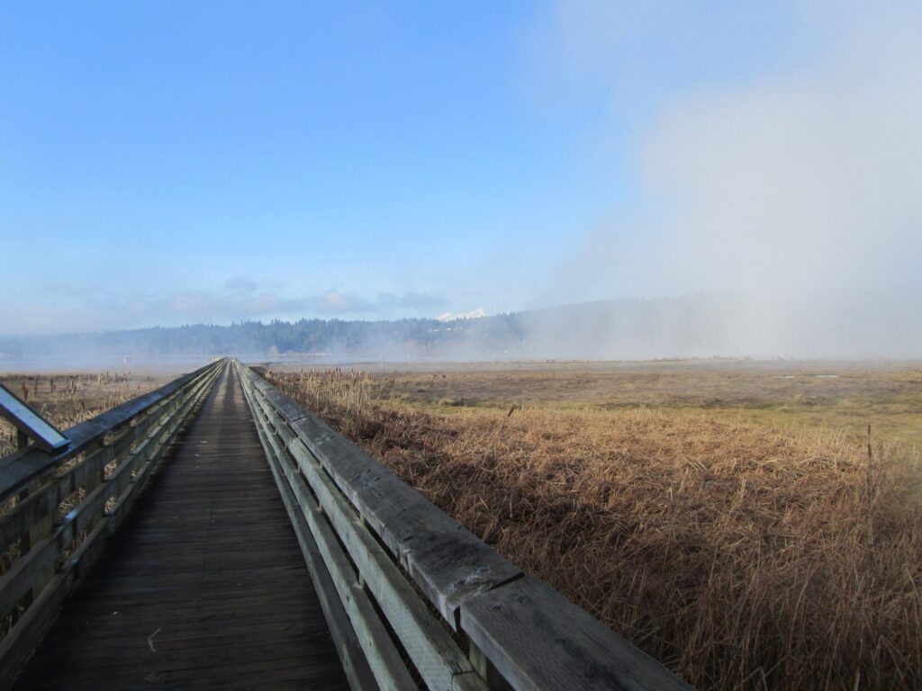
- Description: Explore a birdwatcher’s paradise with waterfowl, raptors, and shorebirds at Nisqually National Wildlife Refuge.
- Tips:
- Bring binoculars and bird identification guides.
- Respect seasonal closures for wildlife protection.
- Stay on boardwalks and designated trails for safety.
20. Ebey’s Landing Bluff Trail – Whidbey Island:
- Distance: 5.6 miles round trip
- Elevation Gain: 260 ft
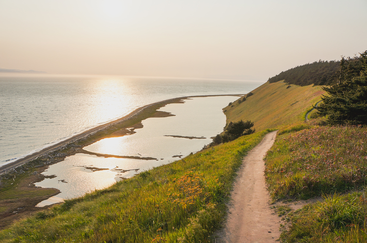
- Description: Enjoy coastal views, prairies, and historic sites at Ebey’s Landing Bluff Trail.
- Tips:
- Check the tide schedule if planning to explore the beach areas along the trail.
- Stay on marked paths and respect any posted trail regulations.
- Bring binoculars for birdwatching opportunities along the coast.
So, there you have it – a bunch of awesome hikes to check out in the Puget Sound and nearby areas! From chill strolls along Padilla Bay to epic climbs up Mount Si, there’s something for everyone. These trails are like little windows into the beauty of the Pacific Northwest. Just remember your snacks, water, and maybe a buddy, and you’re all set for some unforgettable adventures. So go ahead, lace up those boots, hit the trails, and soak in all that nature goodness. Happy hiking, folks!

